According to recent estimates, a 300-mile wall of snow will reach Britain at the start of the new year. Snow is shown in purple on maps created by WXCharts using MetDesk data.
On January 1 and 2, the southwest is expected to see the first winter showers before the cold front sweeps into the Midlands and East Anglia.
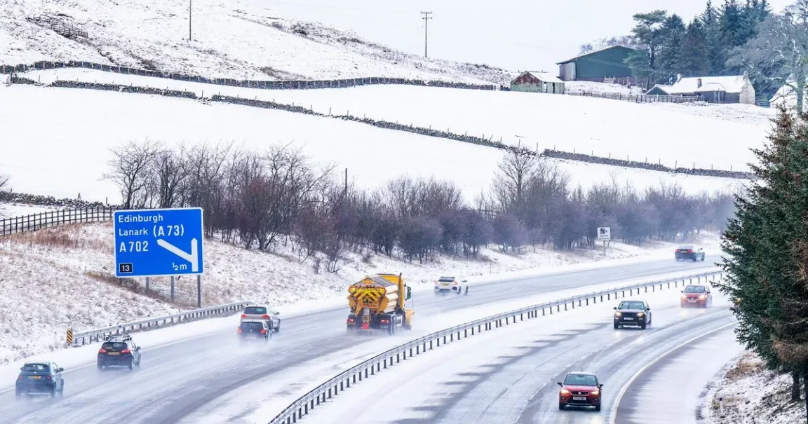
On the second day, Cumbria, the northeast, and central Scotland are predicted to be impacted; in Edinburgh and Newcastle, rainfall of up to 10 cm per hour is possible.
In areas of Northern Ireland and Wales, as well as in Yorkshire, Lancashire, and the East Midlands, torrential rain will follow the snowfall.
A pleasant Christmas holiday will be followed by a chilly wave around New Year’s Day, with temperatures as high as 14C predicted for tomorrow.